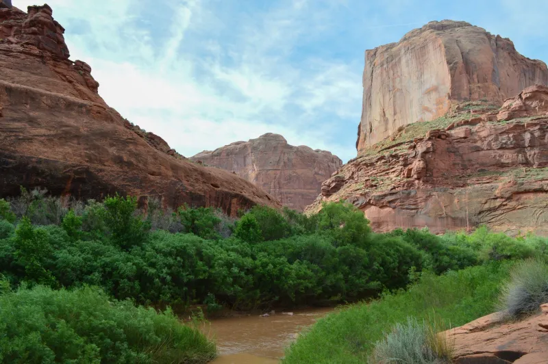
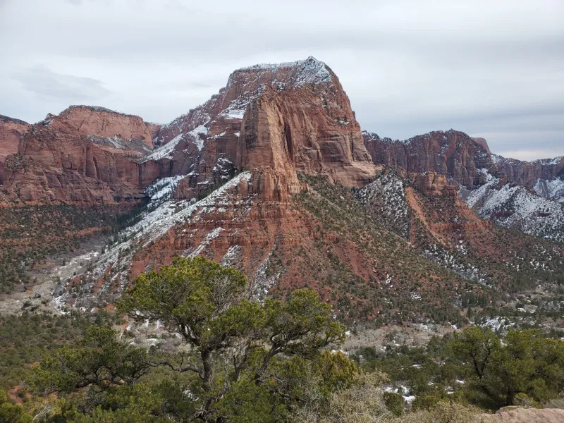
Rock Solid: Using Canyon Country's Geology to Navigate the Backcountry
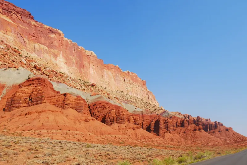
At some point on almost every serious Escalante hike, the trail does something inconvenient: it vanishes. Maybe it was a cairned route through slickrock that the last flash flood rearranged. Maybe it was always just a general direction rather than an actual path. Either way, you're standing in the middle of one of the most dramatically layered landscapes on earth, and you need to figure out where you are and where you're going.
Here's the thing most hikers don't realize: the canyon walls are already telling you. You just have to know how to listen.
The Staircase Is Literal
Grand Staircase-Escalante gets its name from a genuine geological phenomenon — a series of massive rock steps descending from Bryce Canyon in the north toward the Colorado River in the south. Each step is a different rock formation, and each formation has distinct characteristics that repeat predictably across the landscape.
From top to bottom, you're generally moving through younger rock to older rock as you descend into canyon country. The pink and white cliffs of the Claron Formation sit highest. Below that come the gray cliffs of the Cretaceous-era formations. Then the white cliffs of Navajo Sandstone. The vermilion cliffs below that. And so on, down through time.
Knowing roughly which formation you're in tells you a lot about what terrain to expect — and what lies above and below you.
Navajo Sandstone: The Slickrock Realm
If you're hiking through rounded, cross-bedded domes of cream-to-pink sandstone, you're in Navajo Sandstone — the most iconic formation in the region and the one that defines the Escalante experience for most visitors. This is ancient sand dune material, compressed over millions of years into rock that erodes in sweeping curves rather than sharp edges.
Navajo Sandstone is your friend in several ways. It's relatively consistent — when you're on it, you know the terrain will stay open and walkable, with good visibility. It's also porous, which means it holds water. Potholes in Navajo Sandstone are common and often reliable water sources after rain. The rock's permeability also means springs frequently emerge at the contact zone where Navajo meets the less permeable Kayenta Formation below it — that boundary is worth knowing.
Navigating on slickrock means using the terrain's shape rather than a trail. Flow lines — the natural drainage grooves carved into the surface — point downhill toward canyon bottoms. Following them generally gets you somewhere useful. Moving perpendicular to flow lines means you're traversing, which can work but requires more attention to where you're heading.
The Kayenta Formation: A Natural Trail Marker
Just below Navajo Sandstone sits the Kayenta Formation — a reddish-brown, ledgy layer of interbedded sandstone and mudstone that looks almost like a natural staircase itself. It's less dramatic than Navajo, but hikers who know what they're looking at will immediately recognize it as useful terrain.
Kayenta tends to form ledges and benches — relatively flat, walkable surfaces that often serve as natural routes through otherwise vertical terrain. Many established trails in Escalante follow Kayenta benches precisely because they offer the path of least resistance through cliff country. If you're route-finding and you find yourself on a Kayenta ledge, you're probably on a sensible line.
The formation also weathers into angular blocks rather than rounded surfaces, which makes it easier to move through than slickrock but harder on ankles. Watch your footing.
Reading the Walls for Elevation and Orientation
Here's a practical trick: the distinct color banding of canyon walls functions as a rough elevation gauge. If you can identify which formation you're standing in — and which formations are visible above and below you — you can estimate your elevation relative to the surrounding terrain with reasonable accuracy.
In a typical Escalante canyon, you might see red Wingate Sandstone forming sheer lower walls, Kayenta ledges above that, and white Navajo domes at the rim. If you're standing on a Kayenta bench, you know you're roughly two-thirds of the way up the canyon wall. That tells you something about how much climbing remains, and whether the terrain above you is likely to be climbable or vertical.
Aspect matters too. South-facing walls in Escalante catch more sun and tend to be drier, lighter in color, and more sparsely vegetated. North-facing walls stay shaded and damp, often supporting hanging gardens of ferns and columbine at seep zones. If you're trying to orient yourself in an unfamiliar canyon, vegetation patterns on the walls can confirm which direction you're facing.
Water Follows Geology
In the desert, water is everything — and geology tells you where to find it. The most reliable springs in Escalante canyon country emerge at predictable geological contacts: places where a permeable formation meets an impermeable one, forcing groundwater to the surface.
The contact between Navajo Sandstone and the Kayenta Formation below it is a classic spring zone. So is the base of any vertical Wingate cliff where it meets the underlying Chinle Formation. These seeps and springs are often marked by lush vegetation — cottonwood, willow, maidenhair fern — that's visible from a distance. In dry conditions, following your eyes toward that green is often a reliable strategy for finding water.
Potholes are your other geological water resource. They form in any hard, impermeable formation that develops surface depressions — Navajo Sandstone is the most productive for this. After rain, potholes can hold water for days or weeks. Their location is consistent from trip to trip, which is why experienced Escalante hikers build pothole locations into their route planning.
When the Map Runs Out
GPS and topo maps are essential tools in Escalante's backcountry. But they have limits — maps don't always reflect current trail conditions, and GPS doesn't tell you whether the cliff above you is climbable or if there's a route around the next canyon bend.
Geology fills that gap. Knowing that Wingate Sandstone forms vertical, unclimbable walls while Navajo Sandstone erodes into ramps and domes helps you predict what's navigable before you get there. Recognizing a Kayenta bench as a likely travel corridor saves you from thrashing through brush in the canyon bottom. Spotting a spring seep by its vegetation tells you where to camp.
The canyon isn't trying to confuse you. It's laid out in patterns that repeat across hundreds of miles of terrain. Once you learn the language, the rock starts talking back — and that's when Escalante backcountry travel really opens up.