Thirsty Miles: A Backpacker's Real-World Guide to Water in Escalante's Backcountry
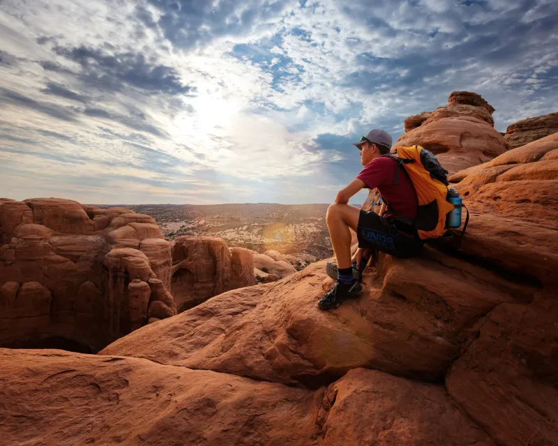
There's a moment every Escalante backpacker knows: you're a few miles from camp, your bottles are running low, and you're staring at a topo map trying to will a blue line into existence. Water in canyon country isn't just a comfort — it's the whole ballgame. Get it right, and you move through this landscape with confidence. Get it wrong, and a bad day becomes a dangerous one fast.
This isn't a scare piece. It's a practical breakdown of how water actually behaves across Grand Staircase-Escalante's different regions, what seasonal changes mean for your planning, and which purification methods hold up when it matters most. Whether you're threading through the Escalante River corridor for five days or pushing solo into the Dry Fork drainage, this is the water knowledge you need before you go.
Understanding How Water Moves Through Canyon Country
Escalante's hydrology is shaped by one big reality: this is a semi-arid landscape built on sandstone. Unlike granite or basalt, sandstone absorbs water quickly and releases it slowly — which is actually good news for backcountry travelers in the right places.
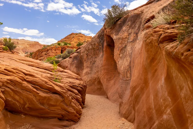
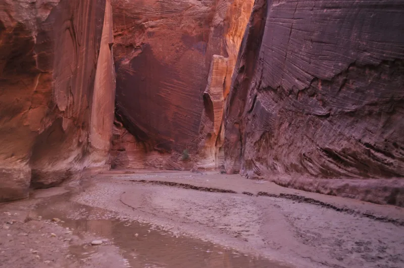
Potholes, those bowl-shaped depressions worn into slickrock surfaces, collect and hold rainwater for days or even weeks after a storm. Seeps and springs emerge where porous sandstone layers meet impermeable rock underneath, pushing water to the surface in steady trickles. Seasonal streams run hard in spring and after monsoon rains, then slow to a crawl or disappear entirely by midsummer. The Escalante River itself is the most reliable permanent water source in the region, flowing year-round through its namesake canyon.
Knowing these basics changes how you read the terrain. A shaded alcove is worth checking for seeps. A canyon bottom after a bend often hides a small pool. Cottonwood trees almost always signal water nearby — follow them.
Regional Breakdown: Where Water Is (and Isn't)
Escalante River Corridor This is your most water-secure route in the monument. The river runs continuously, and side canyons like Death Hollow, Phipps Wash, and Coyote Gulch add tributary sources that are reliable through most of the year. Spring and early summer bring the strongest flows. By late summer, some side drainages thin out, but the main river stays accessible. If you're new to Escalante backcountry, routing along the river corridor gives you the most margin for error.
Coyote Gulch One of the monument's most popular destinations, and for good reason — water is relatively consistent here. Jacob Hamblin Arch and Coyote Natural Bridge areas typically hold good flow through spring and into early summer. Seeps appear along the canyon walls in multiple spots. By August and September, expect reduced flow but not total dryness in most years. Always verify current conditions with the BLM field office in Escalante before heading in.
The Dry Fork and Zebra/Tunnel Slot Canyon Area Despite the ominous name, Dry Fork of Coyote Gulch does hold water seasonally — but it's far less reliable than the main gulch. Potholes are your best bet here after recent rain. Plan to carry enough water from a confirmed source before entering this drainage, and treat pothole water carefully (more on that below).
The Straight Cliffs and Kaiparowits Plateau This is the most demanding water environment in the monument. The plateau interior is genuinely dry for long stretches, with water sources scattered and sometimes requiring significant detours to reach. Experienced backpackers who travel here often cache water or plan routes around the few reliable springs. This is not beginner territory from a water management standpoint.
The Hole-in-the-Rock Road Region The eastern reaches of the monument, including Egypt and Hurricane Wash, have intermittent water at best. Seasonal potholes exist, but you can't count on them. Long dry carries of eight to twelve miles between sources aren't unusual here. Carry more than you think you need.
Seasonal Patterns: Timing Changes Everything
- Spring (March–May): Peak water availability. Snowmelt feeds streams and springs, potholes fill frequently, and the river runs high. Best season for water security on long routes.
- Early Summer (June): Flows begin dropping. Heat spikes dramatically. Water sources are still present along major corridors but require more attention in side canyons.
- Monsoon Season (July–September): Afternoon thunderstorms can refill potholes quickly — but flash flood risk rises sharply. Never camp in canyon bottoms or collect water during active storm cells. Monsoon water can also carry high sediment loads.
- Fall (October–November): Flows are at their annual low before winter precipitation arrives. Water sources are least reliable in the side drainages. Plan conservatively.
- Winter (December–February): Cold temperatures mean less evaporation, but water sources may freeze overnight. Snow can be melted as a last resort but requires significant fuel.
Purification Methods That Actually Work Out Here
Every water source in Escalante backcountry — no matter how clear it looks — should be treated before drinking. Giardia is present in many sources, and pothole water can harbor bacteria and protozoa concentrated by evaporation.
Squeeze Filters (Sawyer Squeeze, BeFree) The most popular choice among Escalante backpackers for good reason. Lightweight, fast, and effective against bacteria and protozoa. The big caveat: squeeze filters struggle with silty water, which is extremely common after rains and in potholes. Always pre-filter through a bandana or coffee filter before running silty water through your squeeze filter — otherwise you'll destroy the membrane quickly.
UV Purifiers (SteriPen) Effective against viruses, bacteria, and protozoa. Works fast. The downside is that turbid or silty water reduces effectiveness — UV light can't penetrate suspended particles well. Pre-filtering is essential here too. Batteries also need managing in extreme heat or cold.
Chemical Treatment (Aquatabs, Iodine) Great as a backup method. Lightweight and packable. Aquatabs (chlorine dioxide) are more effective than iodine, particularly against Cryptosporidium. Wait time matters — follow instructions carefully, and allow extra time in cold water.
Gravity Filters (Platypus GravityWorks) Excellent for camp use when you're filtering large volumes. Slower than a squeeze, but hands-free. Good choice for group trips or base camp situations.
The Smart Move: Layer Your Methods Many experienced Escalante backpackers combine a pre-filter (bandana or dedicated sediment filter) with a squeeze or UV purifier for daily use, and carry chemical tablets as backup. It adds minimal weight and gives you a fallback if your primary method fails — which, in remote canyon country, is not a situation you want to face unprepared.
Practical Water Management Tips
- Carry more than you think. A minimum of one liter per hour of strenuous hiking in summer heat is a real number, not an exaggeration. In temperatures above 95°F, some hikers need more.
- Front-load your water. Drink and fill at every confirmed source, even if you don't feel thirsty yet. Don't ration when you have access.
- Mark sources on your GPS. Download offline topo maps with water source notes before you leave cell range. Apps like Gaia GPS let you add custom waypoints.
- Check current conditions. The BLM Escalante Interagency Visitor Center (435-826-5499) has up-to-date field reports on trail and water conditions. Call before any multiday trip.
- Let pothole water settle. If you're pulling from a silty pothole, fill a container and let it settle for 20–30 minutes before filtering. Your filter will thank you.
The Bottom Line
Water in Escalante's backcountry rewards preparation and punishes assumptions. The good news is that with solid planning — understanding your route's sources, respecting seasonal variation, and carrying reliable purification — you can move through this landscape confidently even on extended trips. The canyon country gives up its water if you know how to look. Go in knowing what you're looking for, and you'll be just fine.